Geological Survey Of Iran: Unearthing The Nation's Wealth
Table of Contents
- Understanding the Geological Survey of Iran (GSI)
- A Legacy of Exploration: The GSI's Historical Journey
- Iran's Complex Geological Tapestry: A Foundation for Survey
- Mapping the Depths: GSI's Contribution to Geological Cartography
- Unlocking Mineral Wealth: Exploration and Resource Assessment
- The Human Capital and Infrastructure of GSI
- GSI's Role in Hazard Assessment and Sustainable Development
- Conclusion: Paving the Way for Iran's Geological Future
Understanding the Geological Survey of Iran (GSI)
The Geological Survey and Mineral Exploration of Iran, or GSI, is far more than just a government department; it is the nation's specialized reference in the fields of geology and mining. As a government agency, its core mandate is multifaceted: to conduct thorough geological and mineral surveys across the entire country, to meticulously collect and compile the results of all activities undertaken in this critical domain, to establish vital coordination among various stakeholders, and, crucially, to prepare and publish the comprehensive geological maps of Iran. Serving as the primary institution responsible for geological surveys, mapping, and research activities throughout Iran, the GSI's work forms the bedrock of national planning and resource management. Its efforts are instrumental in documenting Iran's diverse geological features, identifying and assessing its vast mineral resources, and understanding the complex seismic hazards that characterize the region. This comprehensive approach ensures that decisions related to land use, infrastructure development, and resource extraction are made on a foundation of robust scientific data, safeguarding both economic prosperity and public safety.A Legacy of Exploration: The GSI's Historical Journey
The systematic geological studies in Iran began in earnest with the establishment of the Geological Survey of Iran. Founded in 1958, with significant assistance from the United Nations, the GSI quickly became the official geological research arm of the Iranian government. This marked a pivotal moment in the nation's scientific history, laying the groundwork for a structured and comprehensive understanding of its natural endowment. Prior to this, geological knowledge was often fragmented or limited to specific areas of commercial interest. The late 1960s saw the intensification of systematic geological studies under the GSI's guidance, transforming the approach to earth sciences in Iran. Since its inception, the GSI has been instrumental in meticulously documenting Iran's unique geological features, systematically cataloging its rich mineral resources, and critically assessing its seismic hazards. This long-standing commitment has transformed the organization into the authoritative specialized reference for geology and mining within the country, fostering a deep understanding of Iran's geological past and paving the way for unlocking its future potential.Iran's Complex Geological Tapestry: A Foundation for Survey
Iran's geological landscape is remarkably diverse and complex, a testament to millions of years of dynamic tectonic activity. The country has been meticulously divided into several distinct structural units, each possessing a relatively unique and identifiable record of stratigraphy, magmatic activities, metamorphism, orogenic events, tectonics, and an overall distinctive geological style. This intricate geological tapestry, shaped by the collision of major tectonic plates, presents both immense challenges and unparalleled opportunities for the Geological Survey of Iran. Understanding this complexity is fundamental to effective geological survey and mineral exploration. The geology of Iran is not merely a collection of rocks and minerals; it is a dynamic system that has influenced everything from the distribution of natural resources to the occurrence of seismic events. Experts within the GSI continually strive to describe Iran's geological setting within a global context, referring to paleogeography and general geodynamics to piece together its geological history. This holistic approach, integrating the latest findings and achievements in earth science, allows for a more accurate assessment of the nation's geological wealth and vulnerabilities. The comprehensive book "The Geology of Iran (2004)," published by the Geological Survey of Iran in Tehran, serves as a testament to this profound understanding, a seminal work that has been widely cited and referenced by various academic and industrial entities, including the National Iranian Oil Company, Iran Steel Co., and Iran Copper Co.Mapping the Depths: GSI's Contribution to Geological Cartography
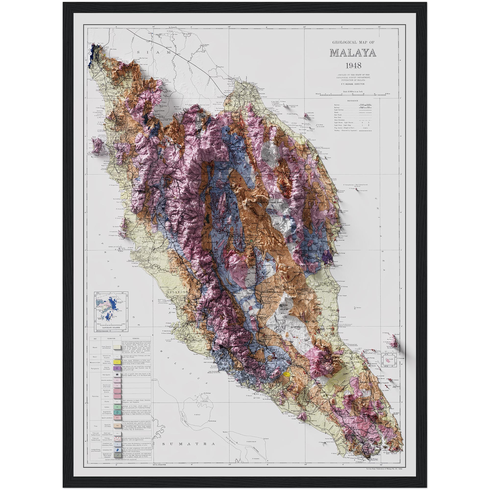
At the heart of the Geological Survey of Iran's mission lies its unparalleled commitment to geological mapping. This fundamental activity provides the visual and spatial framework for all other earth science endeavors. The GSI is solely responsible for geological and other earth science mapping of Iran, and over the decades, it has produced a rich variety of maps, often in close conjunction with vital oil exploration activities. These maps are not merely static representations; they are dynamic tools that capture the intricate details of Iran's subsurface. Among the most significant outputs are the Iran 1:250,000 scale geological maps. These detailed maps provide a comprehensive overview of geological features across vast regions, forming the backbone of national geological databases. The "East view geospatial of set Iran 1:250,000 scale geological maps" further highlights the extensive coverage and systematic approach taken by the GSI. These national programs, at scales like 1:250,000, are crucial for regional planning, resource assessment, and environmental management. The accuracy and detail of these maps are continuously refined, incorporating new data and advanced mapping techniques to provide the most current and reliable information available.Beyond Basic Maps: Specialized Geological Products
Beyond the standard geological maps, the GSI also compiles and publishes specialized cartographic products that cater to specific industrial and research needs. These include digitally compiled maps that integrate geology, oil and gas field centerpoints, geologic provinces, and major faults of Iran. Such detailed compilations are invaluable for the energy sector, providing critical insights into potential hydrocarbon reservoirs and structural traps. While some digital compilations might be interim products from international collaborations, like those from the U.S. Geological Survey, the GSI's own extensive mapping efforts form the primary source for such data within Iran. The "Major sedimentary and structural units of Iran (map) January 1998 · Geosciences" is another example of the GSI's contribution to specialized mapping, offering a focused view on the large-scale geological structures that dictate resource distribution. These maps are essential for guiding exploration efforts, identifying areas with high mineral potential, and understanding the tectonic forces that have shaped the country. The continuous production and updating of these maps underscore the GSI's role as the definitive authority in Iranian geological cartography.Unlocking Mineral Wealth: Exploration and Resource Assessment
Iran's rich geological survey and mineral exploration efforts represent a profound journey into the heart of the earth. In this endeavor, geologists and explorers alike seek to unravel the mysteries of the nation's geological past, not just for academic understanding, but to unlock the immense potential of its mineral wealth. The Geological Survey of Iran stands at the forefront of this critical mission, employing systematic geological surveys, advanced mapping techniques, and innovative exploration methods to pave the way for sustainable resource development. The importance of this work cannot be overstated, especially in a country known for its diverse mineral deposits, including copper, iron, zinc, lead, and various industrial minerals. The GSI's role extends beyond mere discovery; it encompasses the comprehensive assessment of these resources, providing the data necessary for informed investment and extraction decisions. This systematic approach to exploration ensures that mineral resources are identified, quantified, and managed responsibly, contributing significantly to Iran's economic resilience and growth. The goal of such comprehensive programs, often mirroring international initiatives, is to assess the undiscovered, technically recoverable resources, providing a clearer picture of the nation's true mineral endowment.Modern Techniques in Mineral Exploration
To achieve its ambitious goals in mineral exploration, the Geological Survey of Iran embraces modern techniques and technologies. This includes the deployment of advanced mapping technologies that can interpret complex geological structures from satellite imagery and airborne surveys. The initial phase of many exploration programs, for instance, often consists of airborne geophysical surveys. These surveys, which measure variations in the Earth's magnetic, gravity, or electromagnetic fields, can detect anomalies indicative of mineral deposits hidden beneath the surface, allowing for more targeted and efficient ground-based exploration. Furthermore, the GSI utilizes innovative exploration methods that integrate geological, geochemical, and geophysical data. This multidisciplinary approach enhances the probability of discovering new deposits and accurately delineating existing ones. Through continuous research and the adoption of cutting-edge methodologies, the GSI ensures that Iran remains at the forefront of mineral exploration, maximizing the value derived from its geological assets while minimizing environmental impact.The Human Capital and Infrastructure of GSI
The strength of the Geological Survey of Iran lies not only in its mandate and historical legacy but also in its formidable human capital and robust infrastructure. The GSI boasts approximately 1000 personnel, many of whom hold high scientific degrees, reflecting a deep pool of expertise in various earth science disciplines. These highly qualified individuals are the backbone of the organization, driving its research, mapping, and exploration initiatives. Their collective knowledge spans geology, geophysics, geochemistry, hydrogeology, and environmental geology, among other specialized fields. To support its extensive operations, the GSI is equipped with state-of-the-art laboratory equipment and advanced computer facilities. These resources are crucial for conducting detailed analyses of rock and mineral samples, processing vast amounts of geological data, and developing sophisticated geological models. The organization's headquarters in Tehran serves as the central hub for its activities, but its reach extends across the nation through 16 general branches. These regional branches cover almost all regions of Iran, enabling localized geological and indigenous exploration studies, ensuring that the GSI's expertise is accessible and relevant to the specific geological characteristics and needs of each area. Experts like Javad Khatooni, affiliated with the Geological Survey of Iran in Tehran, exemplify the caliber of professionals within the organization, with their publications being widely cited in the scientific community, demonstrating the GSI's contribution to global geological knowledge.Collaborations and Global Recognition
While the Geological Survey of Iran primarily focuses on national objectives, its work is often conducted within a framework of international scientific exchange and collaboration. Its founding with assistance from the United Nations established a precedent for external engagement. The GSI's publications, such as "The Geology of Iran (2004)," are recognized and cited by various international bodies and domestic giants like the National Iranian Oil Company, Iran Steel Co., and Iran Copper Co., indicating the relevance and authority of its research. It is worth noting that while the GSI is a prolific contributor to national geological knowledge, recent reports indicate that the Geological Survey and Mineral Exploration of Iran did not contribute to any primary research papers from Nature Index journals in a specific 12-month window. This highlights the unique focus of the GSI, which often prioritizes national mapping and resource assessment reports that may not always align with the publication metrics of certain international scientific journals, but are nonetheless crucial for Iran's strategic development. Despite this, the organization's foundational work and the expertise of its personnel remain highly regarded within the broader geological community, underscoring its significant role in advancing earth science understanding both domestically and, through its data, indirectly on a global scale.GSI's Role in Hazard Assessment and Sustainable Development
Beyond resource exploration, the Geological Survey of Iran plays a critical role in assessing and mitigating geological hazards, particularly seismic activity. Given Iran's location in an active tectonic belt, the country is highly susceptible to earthquakes. The GSI has been instrumental in documenting Iran's seismic hazards, providing crucial data that informs building codes, urban planning, and emergency preparedness. While international bodies like the U.S. Geological Survey may report on specific seismic events, the GSI is the primary domestic agency responsible for long-term monitoring, research, and understanding of these phenomena within Iran. For instance, when an earthquake strikes, such as the one reported near Sorkheh in Semnan province, the GSI's ongoing data collection and analysis contribute to a comprehensive understanding of the event and its implications. Furthermore, the GSI's work is intrinsically linked to the broader goal of sustainable development. Through systematic geological surveys, advanced mapping techniques, and innovative exploration methods, Iran is actively paving the way for sustainable resource management. This involves not only identifying mineral wealth but also understanding the environmental implications of extraction, promoting responsible mining practices, and ensuring that resource development aligns with long-term ecological and social well-being. The GSI's comprehensive approach ensures that economic growth is balanced with environmental stewardship, creating a framework for a resilient and prosperous future.The Future of Geological Survey in Iran
The future of geological survey in Iran is poised for continuous advancement, driven by the imperative to utilize the latest findings and achievements of earth science. The GSI is committed to integrating cutting-edge technologies and methodologies to enhance its mapping, exploration, and hazard assessment capabilities. This includes leveraging big data analytics, artificial intelligence, and advanced remote sensing techniques to unlock even deeper insights into Iran's geological makeup. Moreover, the evolving international landscape presents new opportunities for collaboration. Following the removal of certain international sanctions, including the lifting of "secondary" sanctions by the United States on investment into and trade with Iran, there has been renewed interest from international geological bodies, such as the U.S. Geological Survey National Minerals Information Center, in compiling and analyzing available information on Iran’s nonfuel minerals industry. This suggests a potential for increased international partnerships and knowledge exchange, which could further bolster the GSI's capabilities and global standing. The ongoing assessment of undiscovered, technically recoverable resources remains a key objective, ensuring that Iran's geological potential is fully understood and responsibly managed for generations to come.Conclusion: Paving the Way for Iran's Geological Future
The Geological Survey of Iran (GSI) stands as a testament to the nation's commitment to understanding and harnessing its natural endowments. From its establishment with UN assistance in 1958 to its current role as the authoritative body for geological and mineral exploration, the GSI has meticulously mapped Iran's complex geological tapestry, unearthed its vast mineral wealth, and played a critical role in assessing seismic hazards. Its dedication to systematic surveys, advanced mapping, and the continuous integration of the latest scientific findings ensures that Iran's development is built on a solid foundation of geological knowledge. The work of the GSI is not just about rocks and minerals; it's about national security, economic prosperity, and the safety of its citizens. By providing comprehensive data and expert analysis, the GSI empowers informed decision-making across various sectors, paving the way for sustainable resource management and resilient infrastructure. As Iran looks to the future, the ongoing efforts of the Geological Survey of Iran will remain indispensable in navigating the challenges and seizing the opportunities presented by its unique geological landscape. We invite you to share your thoughts on the crucial role of geological surveys in national development. What other aspects of Iran's geological wealth or challenges would you be interested in learning about? Leave your comments below, and explore more articles on our site to delve deeper into the fascinating world of earth sciences and their impact on our lives.- Vegasfooo
- Rebecca Lynn Howard Husband
- Is Jonathan Roumie Married
- How Tall Is Tyreek
- Courtney Henggeler

Geological Survey and Mineral Exploration of Iran - Tabas UNESCO Global

Iran Geological Map | 3D Map Of Iran | Geoartmaps
Iran Geological Map | 3D Map Of Iran | Geoartmaps
