Iran's Borders: A Geopolitical Tapestry Of History & Influence
Iran, a nation steeped in ancient history and strategically positioned at the crossroads of Asia, the Middle East, and Europe, possesses an intricate network of international borders that are far more than mere lines on a map. These boundaries represent a dynamic interplay of geography, history, culture, and geopolitics, shaping the country's identity and its interactions with the wider world. Understanding the extensive nature of Iran's borders is crucial to grasping its significant role as a key geopolitical player in the region, influencing everything from trade routes to cultural exchanges and regional stability.
With an expansive territory covering 1,648,195 square kilometers in southwestern Asia, Iran boasts an impressive array of international connections. It shares land and sea borders with no fewer than 13 sovereign countries, making its frontiers some of the most diverse and strategically important globally. This comprehensive guide delves into the specifics of Iran's international borders, exploring their lengths, historical significance, defining features, and the profound impact they have on the nation's contemporary landscape.
Table of Contents
- The Geopolitical Heart of the Middle East: An Overview of Iran's Borders
- Land Borders: A Tapestry of Seven Nations
- The Unique Maritime Frontiers: Caspian Sea, Persian Gulf, and Gulf of Oman
- Beyond the Lines: Economic and Cultural Exchanges Across Iran's Borders
- Navigating Iran's Borders: Travel and Airspace Considerations
- Mapping the Nation: Understanding Iran's Geographic and Political Landscape
- The Historical Evolution of Iran's Borders
- Conclusion: Iran's Borders, A Legacy of Connection
The Geopolitical Heart of the Middle East: An Overview of Iran's Borders
Iran, officially known as the Islamic Republic of Iran and historically as Persia, holds a pivotal position in West Asia. Its vast landmass and strategic access to vital waterways mean that its international borders are constantly under the spotlight. The nation shares a remarkable 5,894 kilometers (3,662 miles) of land borders, connecting it to seven distinct countries. When factoring in its maritime boundaries, the total number of sovereign countries with which Iran shares a frontier rises to thirteen. This extensive network of boundaries shapes Iran's diplomatic relations, economic policies, and cultural interactions. To the north, Iran is bounded by Azerbaijan, Armenia, and Turkmenistan, alongside the unique expanse of the Caspian Sea. Moving eastward, its land borders connect with Pakistan and Afghanistan. The southern limits of the country are defined by the strategically vital Persian Gulf and the Gulf of Oman, waterways that are crucial for global energy trade. Finally, to the west, Iran shares its frontiers with Turkey and Iraq. This diverse geographical positioning underscores why understanding Iran's borders is essential for anyone seeking to comprehend the complexities of the Middle East and Central Asia.Land Borders: A Tapestry of Seven Nations
Iran's land borders stretch across diverse terrains, from rugged mountains to arid plains, each segment telling a unique story of historical interactions, cultural exchanges, and contemporary geopolitical dynamics. The seven countries that share a land boundary with Iran—Iraq, Turkey, Azerbaijan, Armenia, Turkmenistan, Afghanistan, and Pakistan—contribute to a total land border length of 3,662 miles. These extensive lines are not merely geographical divisions but active conduits for trade, migration, and diplomacy, making the study of Iran's borders a fascinating endeavor.The Western Front: Iraq and Turkey
Iran's western borders are defined by two significant neighbors: Turkey to the north and Iraq to the south. These frontiers have historically been areas of considerable interaction, often marked by both cooperation and conflict, reflecting the long and complex histories of the nations involved. The border with Iraq is particularly notable, terminating at the Shatt al-Arab, a river estuary known to Iranians as Arvand Rood. This waterway has been a point of contention and cooperation for centuries, playing a significant role in the historical relationship between the two countries. Iraq itself gained independence in 1932, a development that further solidified and defined this shared boundary. While the exact length of the Iran-Iraq border isn't specified in the provided data, its historical and strategic importance is undeniable, having been the site of major conflicts and significant cross-border movements. Further north along Iran's western flank lies its border with Turkey. This frontier traverses mountainous terrain, historically serving as a natural barrier but also as a route for trade and cultural diffusion between the Persian and Ottoman/Turkish empires. The ruggedness of this border region presents unique challenges and opportunities for both nations, influencing everything from border security to economic development in adjacent areas.The Northern Arc: Azerbaijan, Armenia, and Turkmenistan
To its north, Iran shares boundaries with three former Soviet republics: Azerbaijan, Armenia, and Turkmenistan, alongside the unique maritime frontier of the Caspian Sea. These borders are relatively newer in their current form, having been established after the dissolution of the Soviet Union, yet they are deeply rooted in centuries of shared history and cultural ties. The border with Azerbaijan stretches for approximately 765 kilometers. This region holds significant geopolitical importance, largely due to its proximity to the Caspian Sea and the abundant energy resources found there. The shared border facilitates cross-border trade and cultural exchange, but also necessitates careful diplomatic engagement regarding the exploitation and transportation of Caspian energy. The historical and cultural links between Iran and Azerbaijan are profound, influencing the dynamics of this frontier. Next is the border with Armenia. While specific details about its length are not provided, the data highlights its significance for travel. As of Saturday, June 14, the land border with Armenia at Agarok was reported to be open, offering a viable route for citizens seeking to depart Iran by land. This demonstrates the practical importance of these borders for human movement and connectivity. Completing the northern arc of Iran's land borders is Turkmenistan. This frontier, while less frequently discussed in global headlines, is crucial for regional connectivity and trade with Central Asia. It traverses diverse landscapes, contributing to the rich tapestry of Iran's overall border profile. The relationship across this border often focuses on energy cooperation and regional stability.The Eastern Gateways: Afghanistan and Pakistan
Iran's eastern borders are shared with Afghanistan and Pakistan, two nations with complex geopolitical landscapes and significant historical and cultural connections to Iran. These frontiers are often characterized by challenging terrains and dynamic regional issues, including trade, migration, and security concerns. The border with Afghanistan, which lies to Iran's east, extends for approximately 921 kilometers. This long border has historically been a route for trade, cultural exchange, and, more recently, for refugee movements. The shared cultural heritage and the strategic importance of Afghanistan in regional stability make this border a critical point of focus for Iran's foreign policy. The features of this border often include arid lands and mountainous regions, posing unique challenges for border management. To the south of the Afghan border lies Iran's frontier with Pakistan. This border also traverses diverse landscapes, from desert plains to rugged highlands. The relationship across this border is multifaceted, encompassing economic ties, security concerns, and cultural links. The data indicates instances of border closures, such as Pakistan closing its border with Iran, which highlights the sensitivity and responsiveness required in managing these international lines, especially in times of regional or global events. These closures underscore the dynamic nature of Iran's borders and their immediate impact on travel and trade.The Unique Maritime Frontiers: Caspian Sea, Persian Gulf, and Gulf of Oman
Beyond its extensive land boundaries, Iran's geographical position is profoundly shaped by its access to vital maritime bodies. These sea borders are not merely extensions of its territory but are strategic assets that influence global trade, energy security, and regional power dynamics.The Caspian Sea: A Border of Unique Disputes
To its north, Iran's boundary is defined by the Caspian Sea, the world's largest inland body of water. This is a unique border, as it is not a traditional land border and has been the subject of several complex disputes between Iran and its northern neighbors (Azerbaijan, Russia, Kazakhstan, and Turkmenistan). The legal status of the Caspian Sea, whether it is a lake or a sea, has significant implications for the division of its vast energy resources (oil and natural gas) and fishing rights. Iran's engagement with the Caspian Sea defines a crucial aspect of its northern geopolitical strategy, balancing cooperation with asserting its claims in this resource-rich basin.The Southern Shores: Persian Gulf and Gulf of Oman
Marking Iran's southern limits are the Persian Gulf and the Gulf of Oman. These waterways are among the most strategically important maritime routes in the world, serving as critical conduits for a significant portion of global oil shipments. The Persian Gulf, a semi-enclosed sea, is bordered by several oil-rich nations, making Iran's position along its northern coast incredibly significant. The Strait of Hormuz, a narrow choke point connecting the Persian Gulf to the Gulf of Oman and then to the Arabian Sea, is particularly vital. Iran's control over a substantial part of the northern shore of the Strait gives it immense geopolitical leverage. The Gulf of Oman, in turn, provides Iran with direct access to the open waters of the Indian Ocean, bypassing the narrow confines of the Persian Gulf. This access is crucial for international trade and naval operations, reducing reliance on the Strait of Hormuz for certain maritime activities. These southern maritime boundaries are not just geographical features; they are central to Iran's economic lifeline, its defense strategy, and its role in global energy markets.Beyond the Lines: Economic and Cultural Exchanges Across Iran's Borders
Iran's boundaries are far more than static geographical demarcations; they are vibrant gateways for lively economic interactions and profound cultural exchanges. The extensive network of Iran's borders facilitates a continuous flow of goods, ideas, and people, enriching the nation's cultural fabric and bolstering its regional trade relationships. These exchanges are a testament to the historical connections that bind Iran with its neighbors, transcending mere political lines. Economically, these borders serve as critical arteries for trade. For instance, the border regions with countries like Azerbaijan, Iraq, and Afghanistan are hubs for cross-border commerce, ranging from formal trade agreements to informal market activities. The flow of energy resources, agricultural products, and manufactured goods across these frontiers contributes significantly to the economies of Iran and its partners. Culturally, the shared histories, languages, and religious traditions across many of Iran's borders foster deep bonds. For example, the cultural similarities between Iranians and people in parts of Azerbaijan, Afghanistan, and Iraq are evident in shared customs, music, and literature. This constant interaction ensures that Iran's borders are not barriers but rather bridges that connect diverse communities and traditions. To further understand Iran's topography, borders, and cities, diverse map collections are invaluable. These maps offer a detailed view of the country’s major regions, key infrastructure, and historical landmarks. They provide a comprehensive resource for anyone interested in Iran's complex geographical and human landscape, illustrating how infrastructure like main roads, secondary roads, railroads, and airports are strategically located to facilitate movement across these vital international lines.Navigating Iran's Borders: Travel and Airspace Considerations
For travelers and citizens, the status of Iran's borders is a critical piece of information, influencing travel plans and logistics. The dynamic nature of international relations and regional events means that border conditions can change, requiring vigilance and up-to-date information. As of Saturday, June 14, Iran's airspace remained closed. This status necessitates that citizens seeking to depart Iran by air should confirm their travel plans directly with their respective airlines. Airspace closures can be due to various reasons, including security concerns, political developments, or health crises, and they significantly impact international travel to and from the country. In contrast to the airspace situation, the land border with Armenia (specifically at Agarok) was reported to be open on the same date, June 14. This provides an important land exit route for citizens. However, it's worth noting that other land borders might have different statuses. For example, the data mentions that Pakistan closed its border with Iran, while Jordan suspended flights to Iran (though keeping land crossings with Israel operational). These examples highlight the varied and often unilateral decisions countries make regarding their borders, underscoring the need for travelers to stay informed about specific border crossings and their operational status before making any travel arrangements. Understanding Iran country size and borders length also helps travelers to have a better perspective of the distances involved and plan their journeys more effectively.Mapping the Nation: Understanding Iran's Geographic and Political Landscape
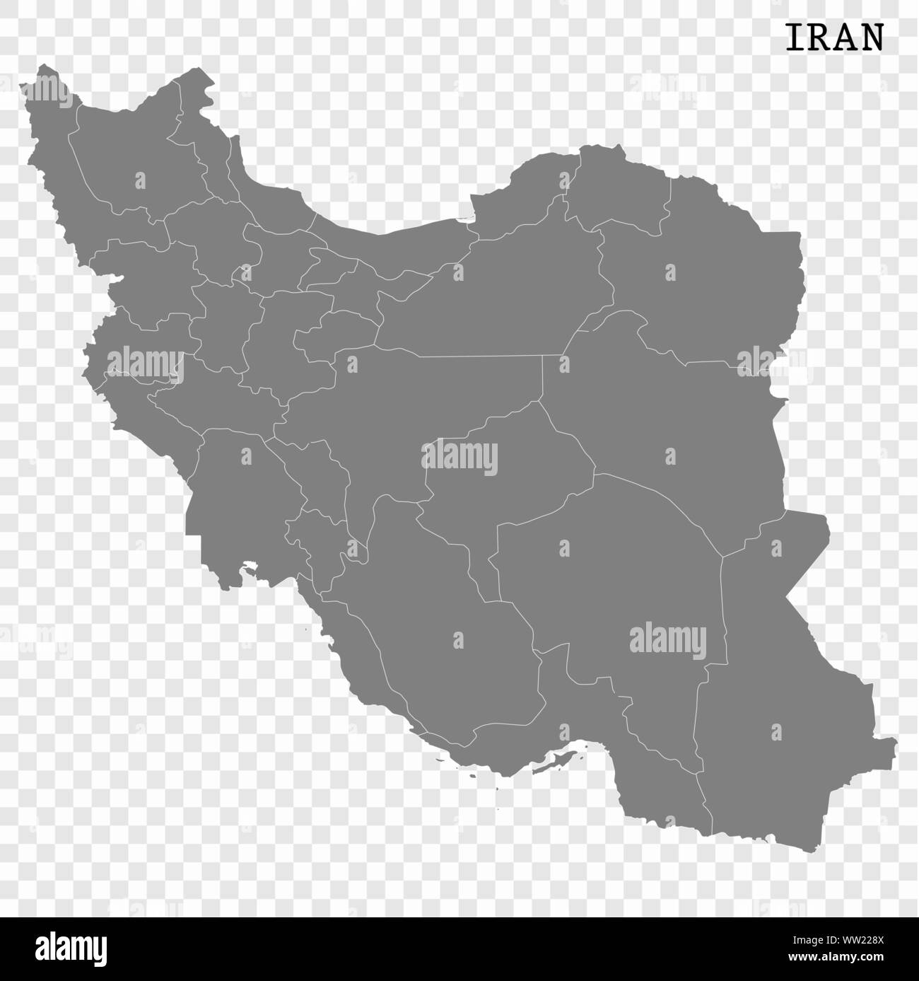
To truly appreciate the complexity and significance of Iran's borders, one must delve into its geographical and political landscape through comprehensive mapping. A political map of Iran is an indispensable tool, providing a visual representation of its international borders, major cities, prominent mountains, and historical landmarks. These maps are not just navigational aids; they are educational resources that unlock a deeper understanding of Iran's geography, history, culture, and religion. Detailed maps show governmental boundaries of countries, provinces, and provincial capitals, offering a granular view of the administrative divisions within Iran and how they interact with the national borders. They also illustrate the network of main roads, secondary roads, railroads, and airports, which are vital for internal connectivity and for facilitating movement across Iran's extensive international frontiers. For anyone interested in the country, these maps offer a detailed view of Iran's major regions, key infrastructure, and historical landmarks, making them valuable resources for academic study, travel planning, or general curiosity. They help to visualize how the physical geography, such as mountain ranges and desert expanses, influences the placement and nature of Iran's borders, and how these borders, in turn, shape the distribution of population centers and economic activities.The Historical Evolution of Iran's Borders
The current configuration of Iran's borders is the culmination of centuries of historical events, shifting empires, and diplomatic negotiations. The land that is now Iran, formerly known as Persia, has been at the heart of numerous powerful empires and civilizations, each leaving an indelible mark on its territorial boundaries. Understanding this historical evolution is key to appreciating the contemporary significance of Iran's borders. Throughout history, the lines defining Persia’s territory have expanded and contracted, influenced by conflicts with neighboring empires—such as the Ottoman Empire to the west, the Russian Empire to the north, and various Central Asian and Indian powers to the east. The formation of modern nation-states in the 20th century, including the independence of Iraq in 1932, played a crucial role in solidifying many of Iran's current western borders. Similarly, the dissolution of the Soviet Union in 1991 led to the emergence of independent Azerbaijan, Armenia, and Turkmenistan, necessitating the formalization of new international boundaries to Iran's north. These historical processes mean that each of Iran's borders carries a legacy of past treaties, demographic shifts, and cultural intermingling. The disputes over the Caspian Sea's legal status, for instance, are rooted in historical agreements and the evolving understanding of international law concerning shared resources. The enduring cultural and linguistic ties across many of Iran's frontiers, particularly with countries like Azerbaijan and Afghanistan, are a testament to shared histories that predate modern political divisions. This rich historical tapestry adds layers of complexity and significance to every kilometer of Iran's international boundaries.Conclusion: Iran's Borders, A Legacy of Connection
The borders of Iran are a testament to its unique and pivotal position in the world. With an impressive 5,894 kilometers of land borders shared with seven countries—Iraq, Turkey, Azerbaijan, Armenia, Turkmenistan, Afghanistan, and Pakistan—and extensive maritime frontiers in the Caspian Sea, Persian Gulf, and Gulf of Oman, Iran stands as a critical nexus in the geopolitical landscape. These boundaries are not merely geographical lines but dynamic interfaces that facilitate economic exchange, cultural diffusion, and complex diplomatic relations. From the historical intricacies of the Shatt al-Arab with Iraq to the energy-rich proximity of the Azerbaijani border, and from the vital maritime routes of the Persian Gulf to the open land passages with Armenia, each segment of Iran's borders tells a story of connection and influence. They are gateways for lively economic chats and cultural exchanges, shaping the lives of millions and influencing regional stability. As a nation with deep historical roots and a forward-looking perspective, Iran's engagement with its borders will continue to define its trajectory on the global stage. We hope this comprehensive exploration of Iran's borders has provided you with valuable insights into the nation's geography, history, and geopolitical significance. What aspects of Iran's borders do you find most fascinating? Share your thoughts in the comments below! If you're curious about other countries' neighbors, feel free to explore our pieces on Ecuador’s neighbors, Egypt’s friends, and Ethiopia’s bordering pals for more geographical insights.- Photos Jonathan Roumie Wife
- Arikytsya Lesked
- King Nasir Real Name
- How Tall Is Tyreek
- Tyreek Hill Hight
Borders of iran hi-res stock photography and images - Alamy
Iran map collection. stock vector. Illustration of high - 264190525
Iran map. Borders of Iran for your infographic. Vector country shape
