Iran's Borders: Gateways To Geopolitics, Culture, And Trade
Table of Contents
- The Extensive Reach of Iran's Borders
- Iran's Northern Frontiers: A Blend of Land and Sea
- Western Gateways: The Historical Significance of Iran-Iraq and Iran-Turkey Borders
- Eastern Horizons: Navigating the Complexities of Iran's Borders with Afghanistan and Pakistan
- Southern Shores: Iran's Maritime Dominance in the Persian Gulf and Gulf of Oman
- Beyond Lines: The Cultural and Economic Tapestry Woven by Iran's Borders
- The Rugged Terrain: Geography's Influence on Iran's Borders
- Iran's Global Position: A Regional Power Defined by its Borders
The Extensive Reach of Iran's Borders
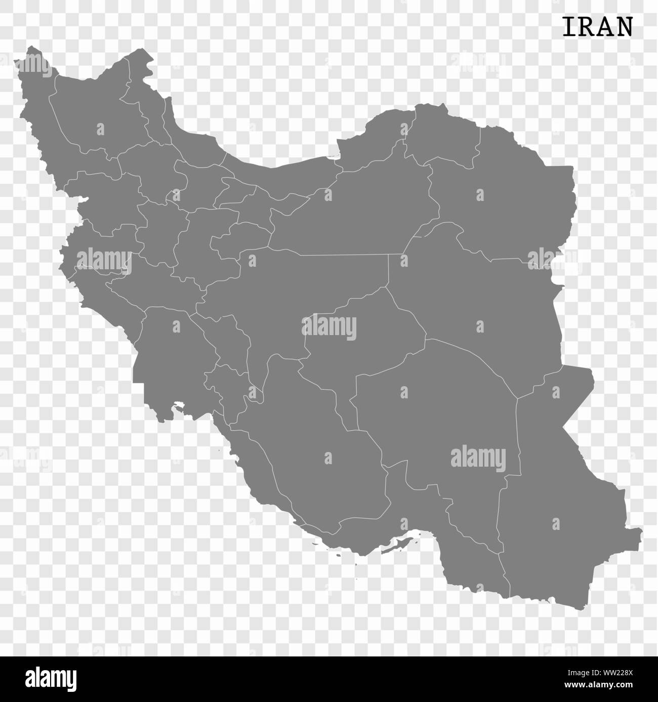
Iran boasts an impressive and complex network of international borders, sharing its sovereignty with 13 different countries, encompassing both land and sea boundaries. This extensive reach underscores its pivotal position in the Middle East and Central Asia. The nation's land borders alone stretch for a remarkable 5,894 kilometers (3,662 miles), connecting it directly to seven sovereign states: Iraq, Turkey, Azerbaijan, Armenia, Turkmenistan, Afghanistan, and Pakistan. Each of these land frontiers presents unique geopolitical, economic, and cultural dynamics, shaping Iran's foreign policy and internal development. Beyond its terrestrial connections, Iran's strategic location grants it significant maritime borders. With six neighboring coastal countries, Iran straddles a whopping 2,440 kilometers (1,520 miles) of coastline. These maritime boundaries are primarily formed by the Caspian Sea to the north and the Persian Gulf and the Gulf of Oman to the south. The sheer length of these coastlines and the number of adjacent nations highlight Iran's substantial influence over crucial waterways, making its maritime borders as strategically important as its land ones. Getting to know these seaside neighbors helps unlock the puzzle of Iran’s geopolitical and economic plays, particularly concerning energy exports and international trade routes.Iran's Northern Frontiers: A Blend of Land and Sea
Iran's northern border is a fascinating mosaic of land and sea, defined primarily by the vast expanse of the Caspian Sea and shared with several key countries. To the northwest, Iran shares a border with Azerbaijan and Armenia, while to the northeast, it borders Turkmenistan. The Caspian Sea itself, the world's largest inland body of water, also brings Iran into proximity with Kazakhstan, further emphasizing the diverse nature of its northern connections. The border with Azerbaijan is particularly significant, extending for approximately 765 kilometers. This region holds considerable geopolitical importance, often serving as a conduit for cultural and economic exchanges. The historical and cultural ties between Iran and Azerbaijan are deep-rooted, influencing everything from art and music to cuisine. Similarly, the border with Armenia, which has been noted as a crucial crossing point for citizens seeking to depart Iran by land, particularly during times of regional instability, underscores its humanitarian and strategic role. As of Monday, June 16, the land border with Armenia (Agarak) was confirmed open, highlighting its ongoing function as a gateway. Turkmenistan, to Iran's northeast, also shares a substantial land border, facilitating trade and energy cooperation. These northern frontiers, therefore, are not just geographical lines but active zones of interaction, shaping Iran's relationships with its Central Asian and Caucasian neighbors.Western Gateways: The Historical Significance of Iran-Iraq and Iran-Turkey Borders
Iran's western borders are characterized by rugged terrain and profound historical significance, primarily with Turkey to the north and Iraq to the south. These borders have been central to regional conflicts, trade routes, and cultural exchanges for centuries, defining much of Iran's historical trajectory and its contemporary geopolitical standing. The Zagros Mountains, a prominent feature on the physical map of Iran, run along these western borders, forming a natural, formidable barrier that has historically influenced military strategies and population movements.The Enduring Iran-Iraq Border
Iran shares its longest land border with Iraq, spanning approximately 1,458 kilometers. This extensive frontier has witnessed a long and often tumultuous history, marked by deep political, cultural, and economic ties that predate modern nation-states. Despite periods of intense conflict, notably the Iran-Iraq War, the border remains a crucial crossing point for trade and transportation. It facilitates the exchange of goods and services between the two nations, supporting a vibrant cross-border economy. The border terminates at the Shatt al-Arab, a waterway known to Iranians as Arvand Rood, which has historically been a point of contention and cooperation due to its strategic importance for access to the Persian Gulf. The shared cultural heritage, particularly among the Shi'ite populations on both sides, further cements the unique and enduring relationship across this significant border.Turkey's Vigilant Watch on Iran's Western Flank
To Iran's northwest lies its border with Turkey, a relationship characterized by both strategic cooperation and regional competition. This border is vital for trade and energy transit, connecting Iran to Europe and beyond. In recent times, the geopolitical landscape has led to increased vigilance along this frontier. For instance, Turkey has stepped up security on its border with Iran since the start of Tehran's conflict with Israel. Despite heightened tensions in the broader region, Turkish defense officials have reported no significant increase in people trying to cross the frontier, indicating a relatively stable, albeit closely monitored, situation. The border between Iran and Turkey serves as a critical artery for overland trade, with goods and people moving between the two nations and into wider regional and international markets. The historical interactions and shared cultural elements, particularly among Kurdish communities straddling the border, also contribute to the unique character of this western gateway.Eastern Horizons: Navigating the Complexities of Iran's Borders with Afghanistan and Pakistan
Iran's eastern borders, shared with Afghanistan to the north and Pakistan to the south, are characterized by rugged landscapes and complex geopolitical dynamics. These frontiers are often influenced by regional instability, ethnic ties, and cross-border movements, making them critical areas for both national security and humanitarian concerns. The challenges along these borders underscore the intricate relationship between geography, governance, and regional stability.The Volatile Iran-Afghanistan Border
The border between Iran and Afghanistan is a significant concern for Tehran, particularly since the Taliban's return to power in Afghanistan. This frontier has become increasingly volatile and porous, presenting challenges related to drug trafficking, illegal immigration, and security. The instability along the Afghan border has worsened, requiring constant vigilance and diplomatic engagement from Iran. Despite the challenges, the two countries share deep historical and cultural ties, with significant Afghan refugee populations residing in Iran. The border region is also important for trade, particularly in traditional goods, and serves as a pathway for people seeking safety or economic opportunities. The ongoing situation in Afghanistan directly impacts the security and social fabric of Iran's eastern provinces.Pakistan's Strategic Stance on the Iran Border
To Iran's southeast lies its border with Pakistan, a frontier that has recently gained prominence due to regional conflicts. The border region, particularly Balochistan, has been affected by the ongoing conflict between Iran and Israel. As a direct consequence of these tensions, the provincial government in Pakistan issued orders on a Sunday to close all borders and crossing points with Iran in Turbat, demonstrating the immediate impact of broader geopolitical events on these localized frontiers. This closure highlights the vulnerability of these borders to external pressures and their role in regional security dynamics. Despite such closures, the Iran-Pakistan border is also a conduit for legitimate trade and cultural exchange, particularly among the Baloch communities who inhabit both sides of the border. The shared historical narratives and cultural practices underscore the enduring connections across this strategic eastern boundary.Southern Shores: Iran's Maritime Dominance in the Persian Gulf and Gulf of Oman
Iran's southern borders are entirely maritime, defined by the extensive coastlines along the Persian Gulf and the Gulf of Oman. These waters are not just geographical features but critical arteries for global energy trade, making Iran's position on these shores immensely significant. With a whopping 2,440 kilometers (1,520 miles) of coastline and six neighboring coastal countries across these vital waterways, Iran holds a dominant position that profoundly influences its geopolitical and economic plays. The Persian Gulf, a semi-enclosed sea, is bordered by major oil-producing nations, making it a focal point for international shipping and energy security. Iran's control over a substantial portion of its northern coast, including the strategic Strait of Hormuz at its mouth, gives it considerable leverage in regional and global affairs. The Gulf of Oman, leading directly into the Arabian Sea and the Indian Ocean, provides Iran with open access to international waters, further enhancing its maritime reach and trade potential. These southern maritime borders are crucial for Iran's economy, facilitating the export of oil and gas, and serving as vital routes for international commerce. Understanding the dynamics of these seaside neighbors and the strategic waterways helps unlock the puzzle of Iran’s geopolitical and economic plays, highlighting its role as a significant player in the region's energy landscape and maritime security.Beyond Lines: The Cultural and Economic Tapestry Woven by Iran's Borders
Iran’s boundaries aren’t just lines on a map; they are vibrant gateways for lively economic chats and profound cultural exchanges. The sheer number of countries sharing a border with Iran means that its history and culture are intrinsically shaped by continuous interactions with its neighbors. This constant interplay has fostered a rich tapestry of shared traditions, artistic expressions, and culinary delights that transcend geographical divisions. Economically, these borders serve as critical arteries for trade and transportation, facilitating the exchange of goods and services between Iran and its neighboring nations. From bustling border markets to major international crossing points, the flow of commerce is a testament to the interconnectedness of the region. Culturally, the border regions have played a pivotal role in fostering exchanges, especially in terms of art, music, and cuisine. For instance, the influences of Persian culture can be seen in the architecture and music of Central Asian countries, while Iranian cuisine often incorporates flavors and techniques from its Arab and Turkish neighbors. This reciprocal influence enriches the cultural landscape of all involved, creating unique regional identities that blend elements from various traditions. These interactions highlight how Iran's borders are not barriers, but rather dynamic zones where diverse cultures meet, merge, and evolve.The Rugged Terrain: Geography's Influence on Iran's Borders
Iran is a very rugged country, dominated by a landscape of plateaus and mountains, with most of the land being above 1,500 feet (460 meters). This distinctive topography plays a crucial role in shaping the nature and accessibility of Iran's borders. The mountain ranges effectively surround the high interior basin of the country, creating natural barriers and influencing historical migration patterns, trade routes, and military strategies. Of note are the Elburz Mountains in the north, which form a formidable barrier between the Caspian Sea coast and the central plateau, influencing the climate and population distribution along Iran's northern borders. Along Iran's western borders, as observed on the physical map of Iran, lie the extensive Zagros Mountains. This range stretches from the border with Turkey and Iraq down to the Persian Gulf, creating a rugged and often challenging frontier. These mountainous regions have historically made border control difficult, leading to porous areas that facilitate cross-border movements, both legal and illicit. The terrain also dictates the development of infrastructure, with roads and railways often following natural passes through the mountains. Understanding this rugged geography is key to comprehending the challenges and opportunities presented by Iran's diverse border regions.Iran's Global Position: A Regional Power Defined by its Borders
Geographically located in Asia, Iran's strategic position, defined by its extensive borders, solidifies its status as a significant player in the region and on the global stage. Its unique access to both the Persian Gulf and the Caspian Sea, coupled with its land borders with a diverse array of countries including Iraq, Afghanistan, and Pakistan, positions Iran at a critical crossroads of energy, trade, and culture. This geopolitical reality has profound implications for international relations, regional stability, and global commerce. The nation's capital and largest city, Tehran, serves as the central hub for its political and economic activities, connecting the various border regions to the national core. Iran's official currency is the Rial (IRR), and the primary languages spoken include Persian and Kurdish, reflecting the diverse ethnic and linguistic groups that inhabit its vast territory, many of whom live in border regions. The intricate web of its borders, each with its own historical context and contemporary challenges, contributes to Iran's complex identity as a regional power. From managing security concerns along volatile eastern frontiers to leveraging its maritime dominance in the Persian Gulf, Iran's interactions across its borders are central to its foreign policy objectives and its pursuit of economic development. Its strategic location means that developments along any of its borders can have ripple effects across the Middle East and beyond, underscoring the critical importance of understanding Iran's multifaceted border dynamics.Conclusion
Iran's borders are dynamic entities, far more than simple lines on a map. They are vibrant interfaces that have profoundly shaped the nation's history, culture, and geopolitical standing. From the bustling trade routes with Iraq and Turkey to the complex security challenges along its eastern frontiers with Afghanistan and Pakistan, and the strategic importance of its maritime access to the Persian Gulf and Caspian Sea, each segment of Iran's extensive periphery tells a unique story. The interactions across these borders have woven a rich tapestry of cultural exchange, economic interdependence, and, at times, regional tensions. Understanding the multifaceted nature of Iran's borders is crucial for anyone seeking to grasp the complexities of the Middle East and Central Asia. These frontiers are not just static markers but living gateways that reflect Iran's past, define its present, and will undoubtedly influence its future trajectory as a significant regional and global player. We hope this exploration has provided valuable insights into the intricate world of Iran's borders. What are your thoughts on the significance of Iran's borders? Do you have any experiences or insights related to these regions? Share your comments below and join the conversation. If you found this article insightful, consider sharing it with others who might be interested, and explore other related pieces on our site to deepen your understanding of global geopolitics.- Seann William Scott S
- Aishah Sofey Leaks
- How Old Is Jonathan Roumie Wife
- Sophie Rain Spiderman Video Online
- Aja Wilson Boyfriend
Borders of iran hi-res stock photography and images - Alamy
Iran map collection. stock vector. Illustration of high - 264190525
Iran map. Borders of Iran for your infographic. Vector country shape
